
On August 30th, the Kenyan Meteorological Department issued a warning on the possibility of El Niño affecting the country. El Niño is driven by changes in sea surface temperatures in the equatorial Pacific Ocean. During El Niño events, sea surface temperatures become warmer than average, and these effects are most pronounced during the OND (October, November, December) season, often associated with above-average rainfall in Kenya.
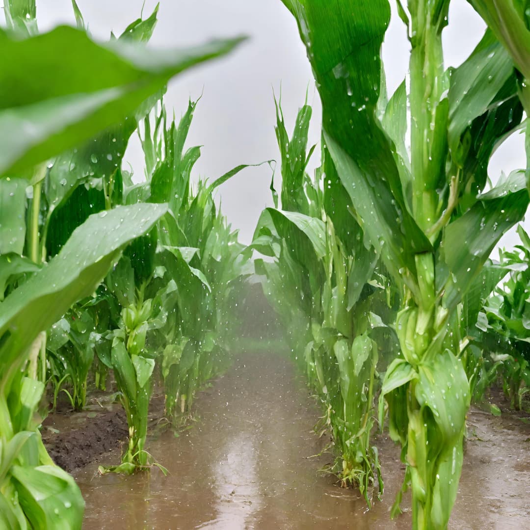
During the OND season, most regions in the country are expected to receive above-average rainfall, with some areas experiencing fairly distributed rainfall and others having well-distributed precipitation. Typically, the central highlands record the highest seasonal rainfall amounts, often exceeding 700mm.
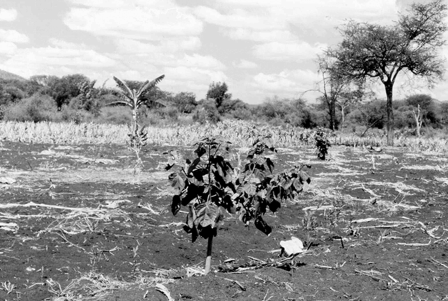
In 1997, a significant El Niño event occurred, resulting in widespread droughts, flooding, and various natural disasters worldwide. Kenya experienced extensive flooding and landslides in multiple regions of the country. The agricultural sector was profoundly impacted by these extreme weather conditions, causing both positive and negative influences. (F.K & F.M, 2000) The abundant rainfall caused an increase in plant and animal diseases, affecting livestock and crop production in several regions. Flooding also caused waterlogging on farms, reducing yields and damaging livestock water facilities. Tragically, there were reports of animal deaths due to drowning. The estimated combined losses in this sector reached USD 236 million.
This year, the Meteorological Department forecasts a 90% chance of El Niño prevailing for the remainder of the year and possibly extending into early 2024. In response to this forecast,
heightened vigilance and alerts have been implemented by agencies like the Kenya Red Cross. These measures aim to notify residents in flood-prone areas to relocate to higher ground, enhance drainage systems around their residences, consider rainwater harvesting, and seize the opportunity to plant trees. These actions will mitigate the impact of El Niño occurrences in the future.
Numerous counties have already initiated preparations in anticipation of these conditions. Urban residents have been advised to ensure drainage systems remain unobstructed and relocate from riparian lands and vulnerable areas near waterways to minimize disaster risks.
The Kenya Agricultural and Livestock Research Organization (KALRO) has also strongly advised farmers, especially maize growers, to consider early harvesting to mitigate potential losses. Additionally, the Ministry of Public Health has issued warnings about potential public health impacts associated with El Niño. They have called on county-level El Niño preparedness and response committees to remain vigilant in addressing the general risks related to extreme weather events and their impact on the public. 1
| Region | Expected Onset | Expected Cessation | Distribution | |
| 1 | Northwest (Turkana, Samburu) | 3rd to 4th week of Oct | 4th week of Dec | Poor to Fair |
| 2 | Northeast (Marsabit, Mandera, Wajir, Isiolo, Garissa, Parts of Tana River) | 4th week of Sept to 1st week of Oct | Rainfall is likely to continue in Jan | Fair |
https://drive.google.com/file/d/17V4h_iSjYu8dJKrdpMY-ugAGmAjbDUqH/view?usp=sharing
| 3 | Highlands West of the Rift Valley/Lake Victoria Basin (Siaya, Kisumu, Homa Bay, Migori, Kisii, Nyamira, parts of Baringo, Uasin Gishu, West Pokot, Elgeyo Marakwet, Nandi, parts of Bomet, Kericho, Bungoma, Kakamega, Busia, Trans Nzoia, West Pokot, Vihiga) | Rainfall to continue from Sept | Rainfall is likely to continue in Jan | Poor in Sept & Oct, good in Nov & Dec |
| 4 | Central & Southern Rift Valley (Nakuru, Narok, Laikipia, parts of Bomet & Baringo) | 2nd to 3rd week of Oct (Occasional rainfall may be experienced in Sept) | Rainfall is likely to continue in Jan | Good |
| 5 | Highlands East of the Rift Valley including Nairobi (Nyandarua, Nyeri, Kirinyaga, Murang’a, Kiambu, Meru, Embu, Tharaka Nithi & Nairobi) | 1st to 2nd week of Oct | Rainfall is likely to continue in Jan | Good |
| 7 | Southeast (Kitui, Makueni, Machakos, Taita Taveta, & Kajiado) | 2nd to 3rd week of Oct with a likelihood of a dry spell after the onset (Parts of Taita Taveta may experience rains in the 4th week of Sept) | Rainfall is likely to continue in Jan | Good |
| 8 | Coast (Mombasa, Coastal parts of Tana River, Kilifi, Lamu & Kwale) | 4th week of Sept to 1st week of Oct | Rainfall is likely to continue in Jan | Good |
This table, sourced from the Meteorological Department, serves as a valuable repository of information about the OND 2023 Seasonal Forecast